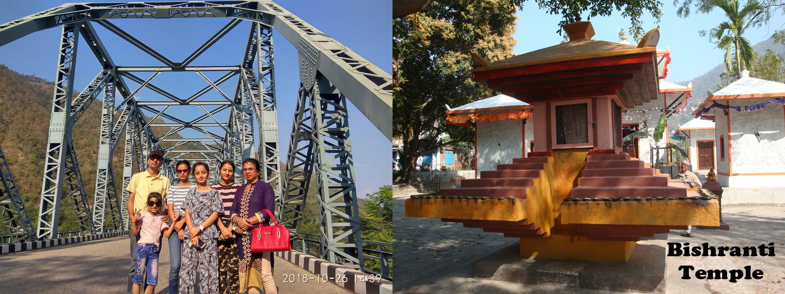
The beautiful place Mulghat is located in Nepal’s Eastern Region. Dhankuta, the capital of the Eastern Region, lies about 5.7 kilometers / 3.6 miles from Mulghat. Mulghat is around 216 kilometers / 134 miles from Nepal’s capital, Kathmandu.It is a mid-hill district in Nepal’s eastern hill area. It is located between the latitudes of 26°53′ and 27°19′ north and the longitudes of 87°8′ and 88°33′ east.
Mulghat is an easily accessible area located 32 kilometers north of Dharan on the Koshi highway. It is located on the Tamor River, which is a tributary of the Koshi River. Tamor River rafting typically begins at Mulghat and finishes at Chatara. Fresh sugarcane juice is a popular drink in this station. There are a few small restaurants here where you can eat and spend the night. A briddhasram on the riverbank can also be used as a place to stay. Ghodetar-Bhojpur to the west, Yasok to the east, DhankutaTerhathum to the north, and BhedetarDharan to the south are all the area that are accessible from Mulghat.The major attraction for tourists here is the breathtaking view of the Tamor River and the steel bridge that spans the river. Here you’ll find sajiun, marmelous, sugarcane juice, and tomato as the famous products.
There are no airports within 15 kilometers of Mulghat.Though there is no any airport around Mulghat, The visit of this area is worth travelling and it is an awesome experience to spend a weekend here with family and friends. Mulghat is connected to Dharan via a good roadway. Bus service is offered on a regular basis.Mulghat offers beautiful views, a pleasant environment, and a variety of exciting hikes in the surrounding locations.Mulghat has a variety of hotels and resorts to choose from, ranging from budget to luxury. SailungDanda or Bhedetar, halfway between Dharan and Mulghat, is an unique spot that puts all other hill stations to shame. When you arrive at Mulghat’s sturdy Tammar Bridge, you know Dhankuta has arrived. You can witness the rushing Tammar River from the banks and even join up for rafting. Rush to the neighboring Leutiriver if you wish to go swimming.The serene environment, where elders shower blessings and sing hymns, may motivate you to volunteer and give back to society! In Bishranti, Shivaratri it is extremely significant.
A walk through the forest of salla (pine) trees that encircle Mulghat on all sides is the greatest way to feel the wildness of Mulghat. The peaceful greenery, monkey chatter, and bird humming will work their magic and lift your spirits. The Mulghat area’s vegetation zones range from subtropical Sal forests along the Tamor and Arun rivers to colder temperate forests on parts of the district’s high hills, which serve as a watershed between the two catchments. The elevation varies between 300 and 2500 meters.Maize, rice, and millet are some of the crops grown by the bulk of the people. Citrus fruits, cauliflower, cabbage, ginger, and, more recently, tea are all important income crops here. On the northwest side of the settlement, a well-preserved forest (Rani Ban – Queen’s Forest) runs along a ridge line, with well-developed mature stands of rhododendron and sallo (pine) trees.
The main reason of Mulghat being attraction to many of the people is that it lies in Dhankuta district which is rich in biodiversity and natural resources along with the serene beauty of nature.
-Article written by: Saru Niraula for Land Nepal


